

Expert operation of backhoes and dozers for land preparation and construction tasks. Precision in excavation and grading for landscape and building projects. Safety inspections and maintenance routines to ensure equipment reliability. Soil and material manipulation for optimal site preparation. Training programs for new operators in machine handling and task execution. Compliance with construction and environmental […]
Read More →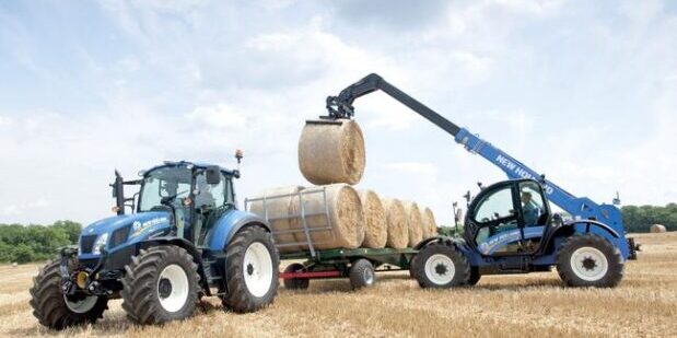
Safe operation of forklifts for material handling and pallet moving. Strategic load management to optimize warehouse and storage operations. Regular safety checks and maintenance to uphold operational standards. Training sessions focused on safety, efficiency, and precision. Coordination with warehouse management systems for inventory control. Loading and unloading of goods with attention to balance and security. […]
Read More →
Operation of combines, harvesters, and other specialized machinery for efficient crop collection. Adjustment of machinery settings based on crop type, condition, and maturity. Coordination with logistics to streamline the harvest process. Continuous monitoring for any operational discrepancies or issues. Implementation of machine-led harvesting strategies for maximum yield. Safety protocols to protect operators and crops during […]
Read More →